Maps for Module f14
Toronto, Ontario, is a large city on the shores of Lake Ontario, one of
the Great Lakes. "X" marks the airport location.
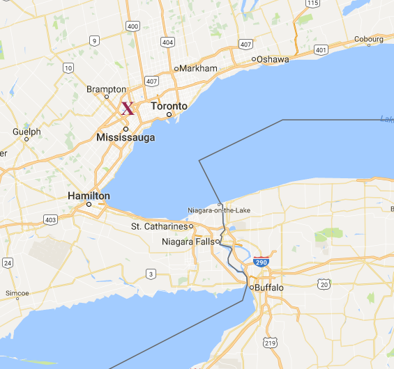
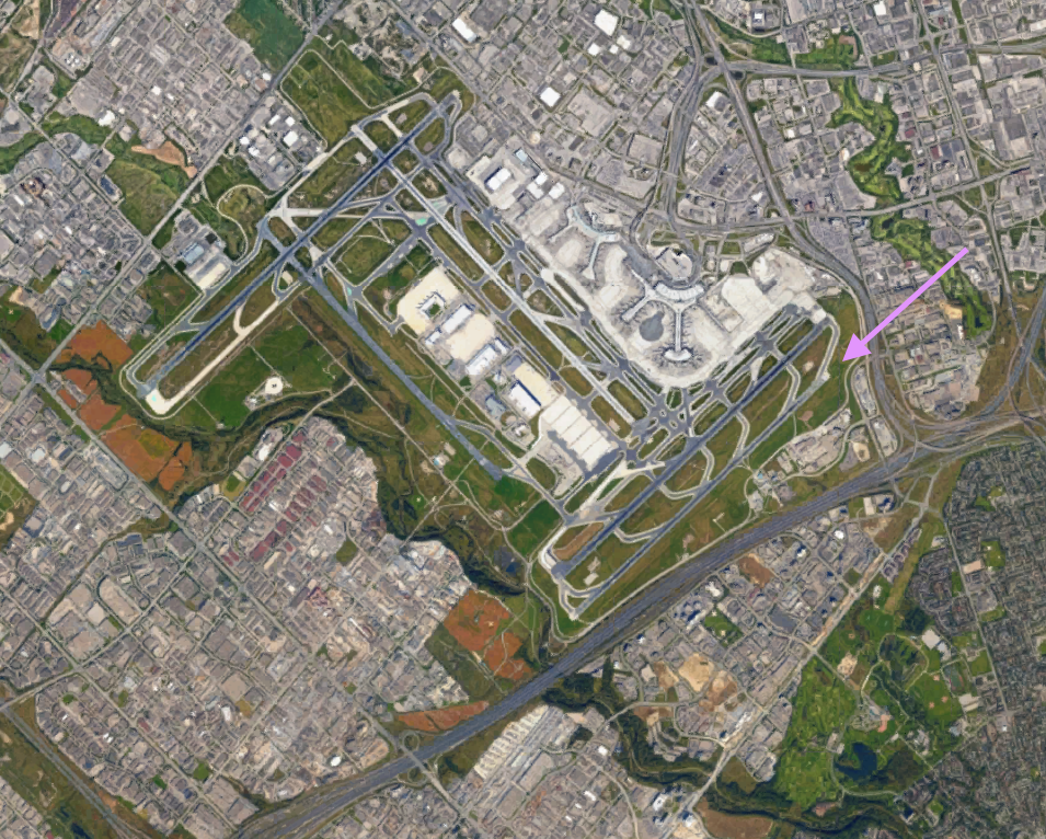
Your destination airport is Toronto (Lester B. Pearson)
International Airport (CYYZ). This large metropolitan airport has
5 large runways to handle commercial airliners. Runways are
identified by the directions of their centerlines. Toronto
airport has several parallel runways. For example two runways
that you could land on while flying toward the southwest (toward
compass direction 240°) are runway 24 Left (24L) and 24 Right (24R).
You have been cleared to land on runway 24L. So you are flying
the course shown with the pink arrow in the figure below, to approach
and land on runway 24L. This runway was used because it was
more-or-less aligned with the mean wind near the earth's surface, which
was generally coming from the southwest this afternoon. Aircraft
normally try to land and take-off into the wind (i.e., the aircraft
experiences a headwind).
A closer view looking toward the southwest over runway 24L:
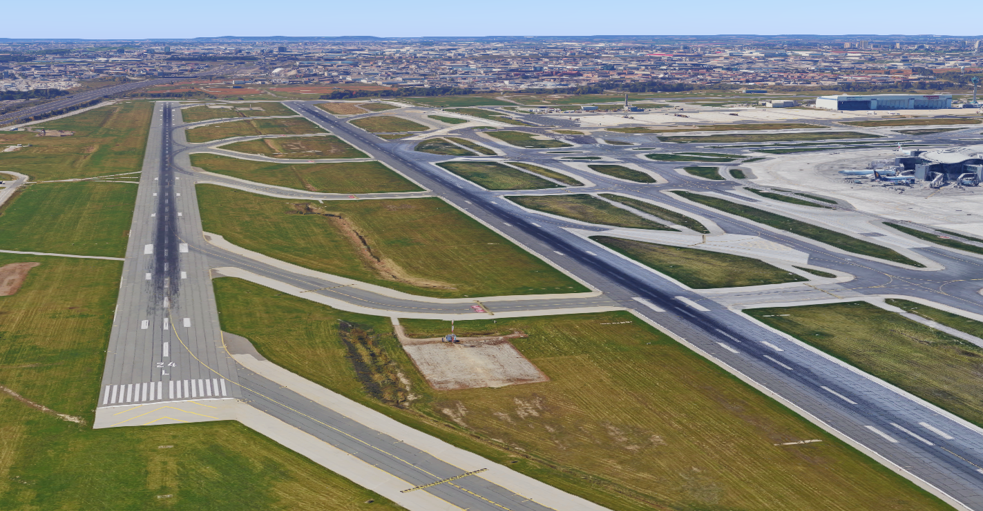
Normally, aircraft approaching this airport would follow a navigation
signal called an Instrument Landing System (ILS), which transmits the
desired 3° descent "glideslope" angle, and gives the pilot "localizer"
information to steer left or right to stay aligned with the runway
centerline. The ILS guides approaching aircraft to the runway,
and is used in bad weather, such as low clouds and/or poor
visibility.
Image credits. All the captured from Google Maps,
and annotated by Roland Stull.