ATSC 113 Weather for Sailing, Flying & Snow Sports
Special Clouds > Castellanus Clouds
Learning Goal 1b. Recognize special clouds (e.g. castellanus, billow, lenticular, rotor, banner, fractus, etc.)
Most convective clouds (e.g., cumulus clouds) are caused by warm
air rising from the earth's surface. For these clouds, the cloud
diameter is roughly equal to the height of the cloud top above ground.
However, sometimes a thin layer of cold air will form above a thin
layer of warm air. This combination of layers are said to be statically unstable
(a term that is covered in Learning Goal 3b). As the warm air
rises and the cold air sinks within this warm-cold-air sandwich,
mineature convective clouds form in the rising air if enough water
vapour is present.
These clouds look like castle turrets, which is how they get their name castellanus. These castle turrets sometimes form out of the top of a layer of clouds, hence, they are a type of stratiform cloud.
For these clouds, their diameter is small, compared to their
altitude above ground. The convective circulations of these
clouds do not touch the ground, and instead are contained within that
warm-cold-air sandwich layer. Although the next figure is more
technical (ignore the lines drawn on this graph), it does show a layer
of castellanus clouds at middle layers of the troposphere, where the
air was statically unstable.
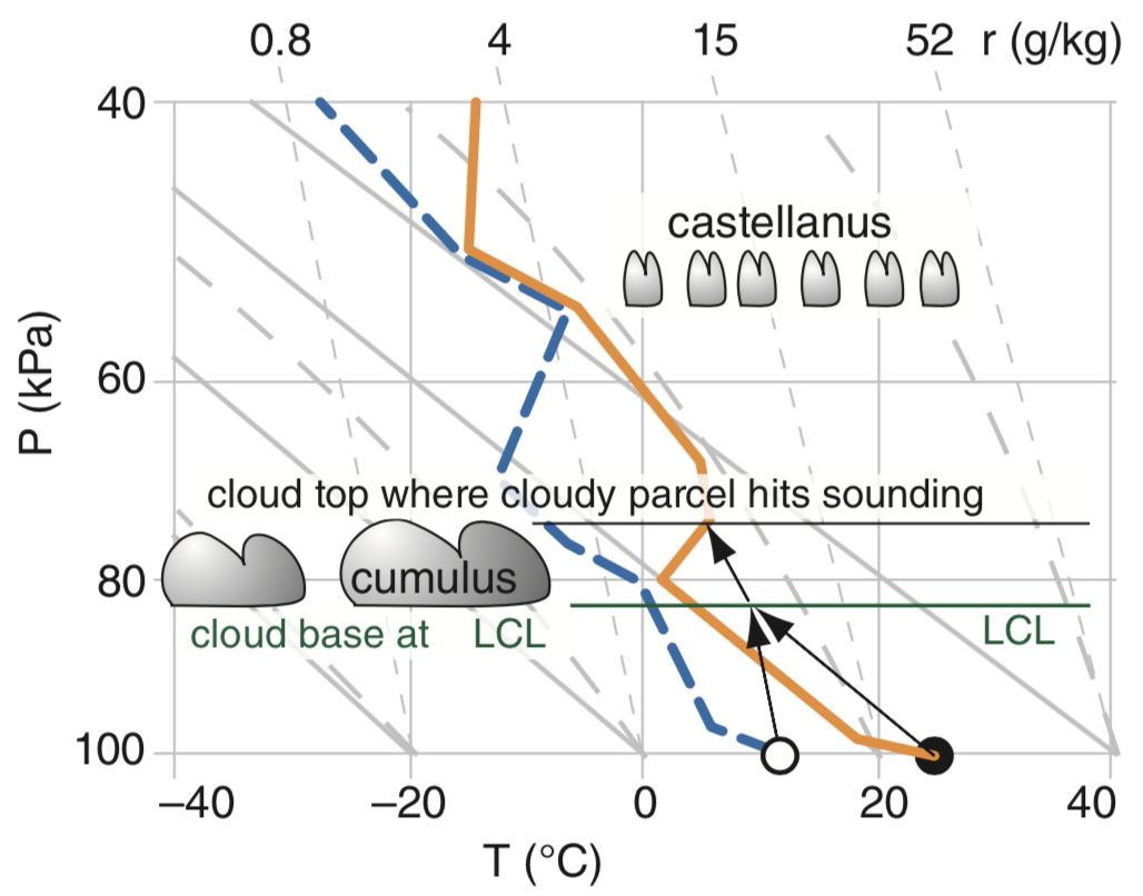
Figure above: A thermo diagram showing temperature along the horizontal axis, and pressure along the vertical axis. Higher in the diagram corresponds to higher above ground. The layer of castellanus clouds is roughly 5 km above ground (16,400 feet altitude).
Castellanus clouds can form as:
- high-altitude clouds (cirrus castellanus or cirrocumulus castellanus),
- mid-altitude clouds (altocumulus castellanus), and
- low-altitude clouds (stratocumulus castellanus).
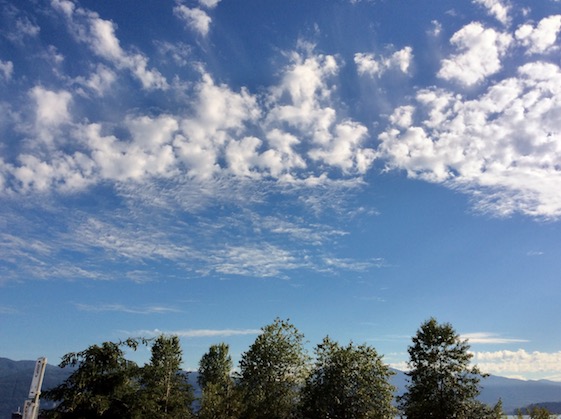
The next photos show mid-level (altocumulus castellanus) clouds:
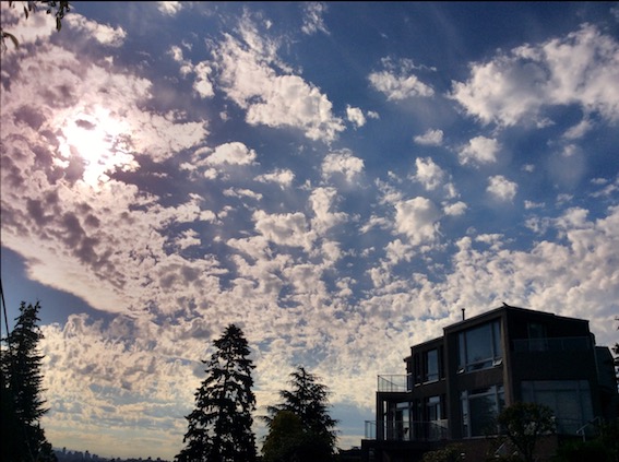
The whole layer of clouds are altocumulus castellanus.
The top half of the photo show altocumulus castellanus.
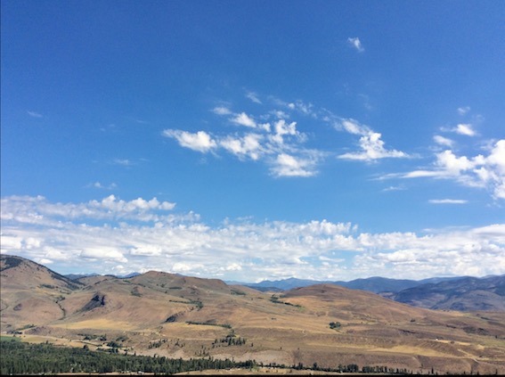
The clouds in the distance are altocumulus castellanus.
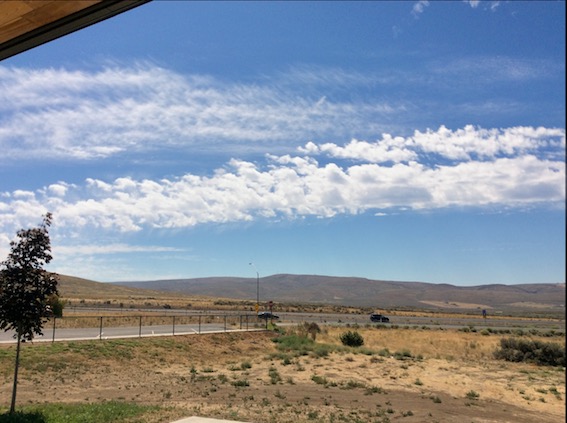
The bright stripe of clouds across the middle of the photo are altocumulus castellanus.
Tips for Pilots
- Instrument-rated pilots should avoid flying in a layer of castellanus clouds, as it would likely be turbulent.
- If you accidentally find yourself in a layer of castellanus cloud, usually climbing or descending a small distance will get you out of the layer of turbulence.
- Pilots can use these clouds as a clue that the atmosphere contains some instability, which can allow thunderstorms to form more easily later in the day. Storm chasers like castellanus clouds for this reason. But a layer of castellanus clouds does not guarantee that thunderstorms will form later.
- These clouds are of little use to sailplane pilots, because
sustained updrafts are not often found in the clear air below these
clouds.
Key words: altocumulus castellanus, statically unstable
Extra info for experts; Not Needed for this Course.
Use this expert_resources link to find all the items listed below:
Image credits. All figures and photos by Roland
Stull.