Maps for Flying Module B (case f10)
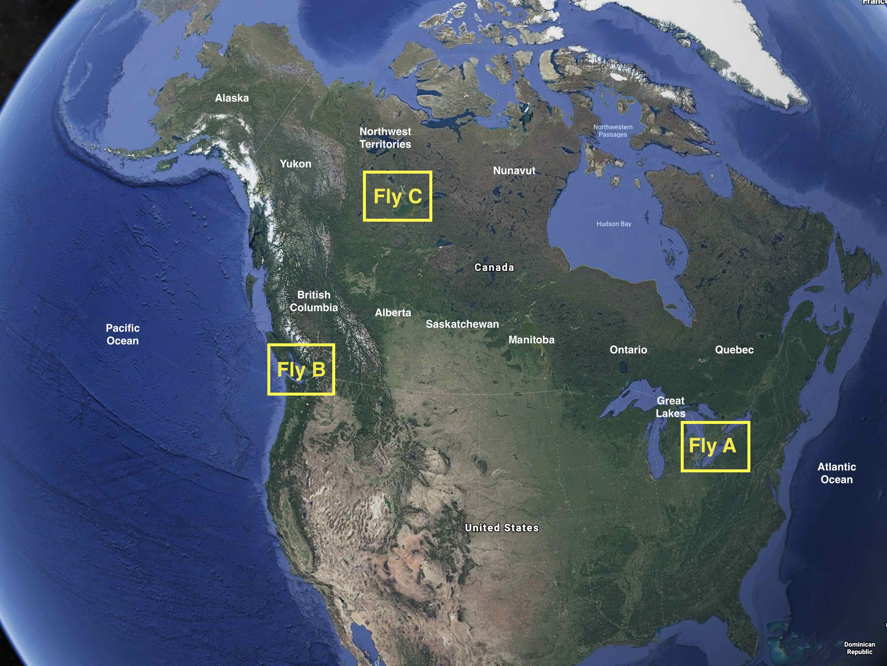
The big picture.
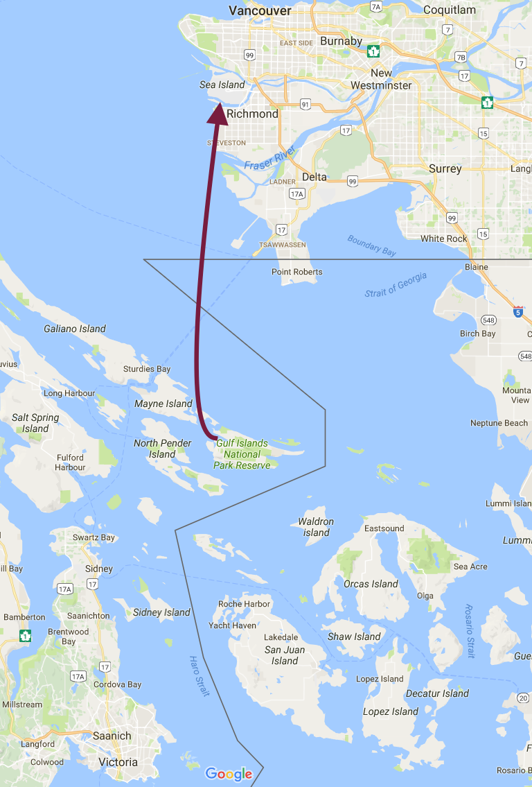
Planned route from Lyall Harbour on Saturna Island to Vancouver International Airport.
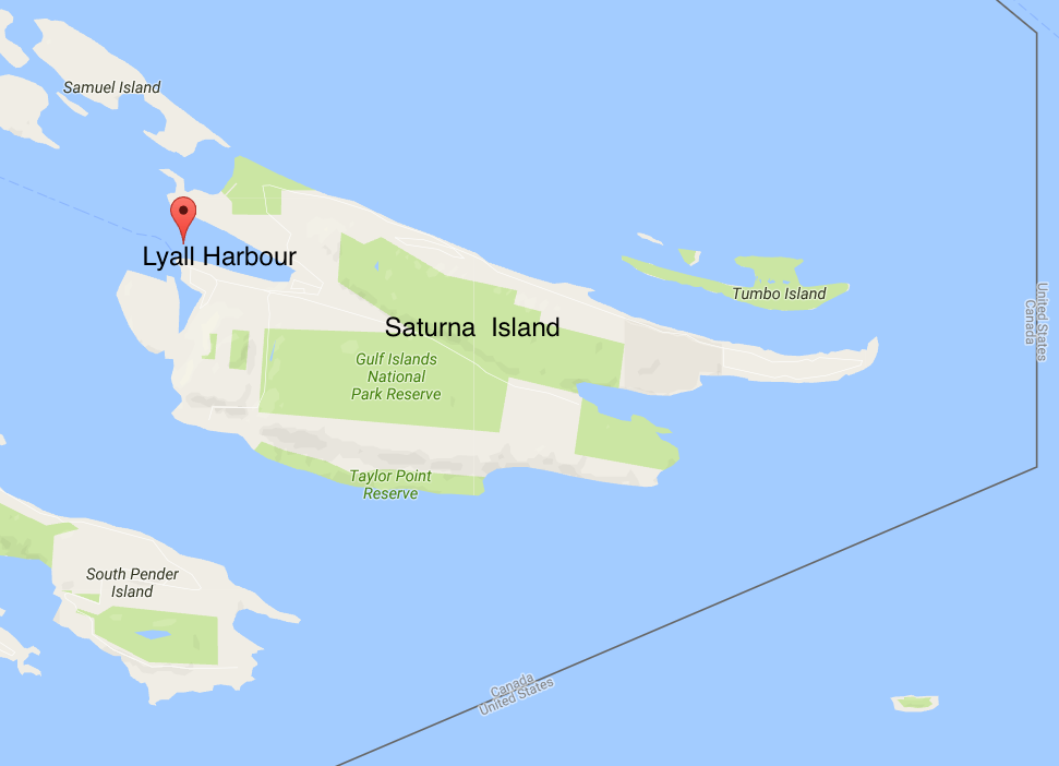
Zoomed map of Saturna Island, showing Lyall Harbour, the departure point.
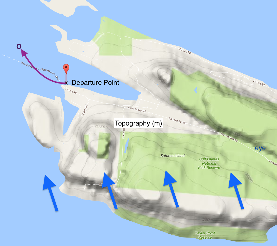
Topography of Saturna Island. Blue arrows show the prevailing wind direction. The purple line shows your first (unsuccessful) takeoff attempt, and the "O" shows where you stop on the water to decide what to do next. "Eye" shows the vantage point for the view in the next figure.

View from the (eye) location in the previous figure, looking WNW down the valley towards the departure point (x) in Lyall Harbour.
Image credits. All the captured from Google Maps and Google Earth, and annotated by Roland Stull.
UBC ATSC 113 - Weather for Sailing, Flying & Snow
Sports
Copyright © 2017-2019 by Roland Stull.
Last updated Jan 2019.