Maps for Sailing Module A (case w00)
The Big Picture:
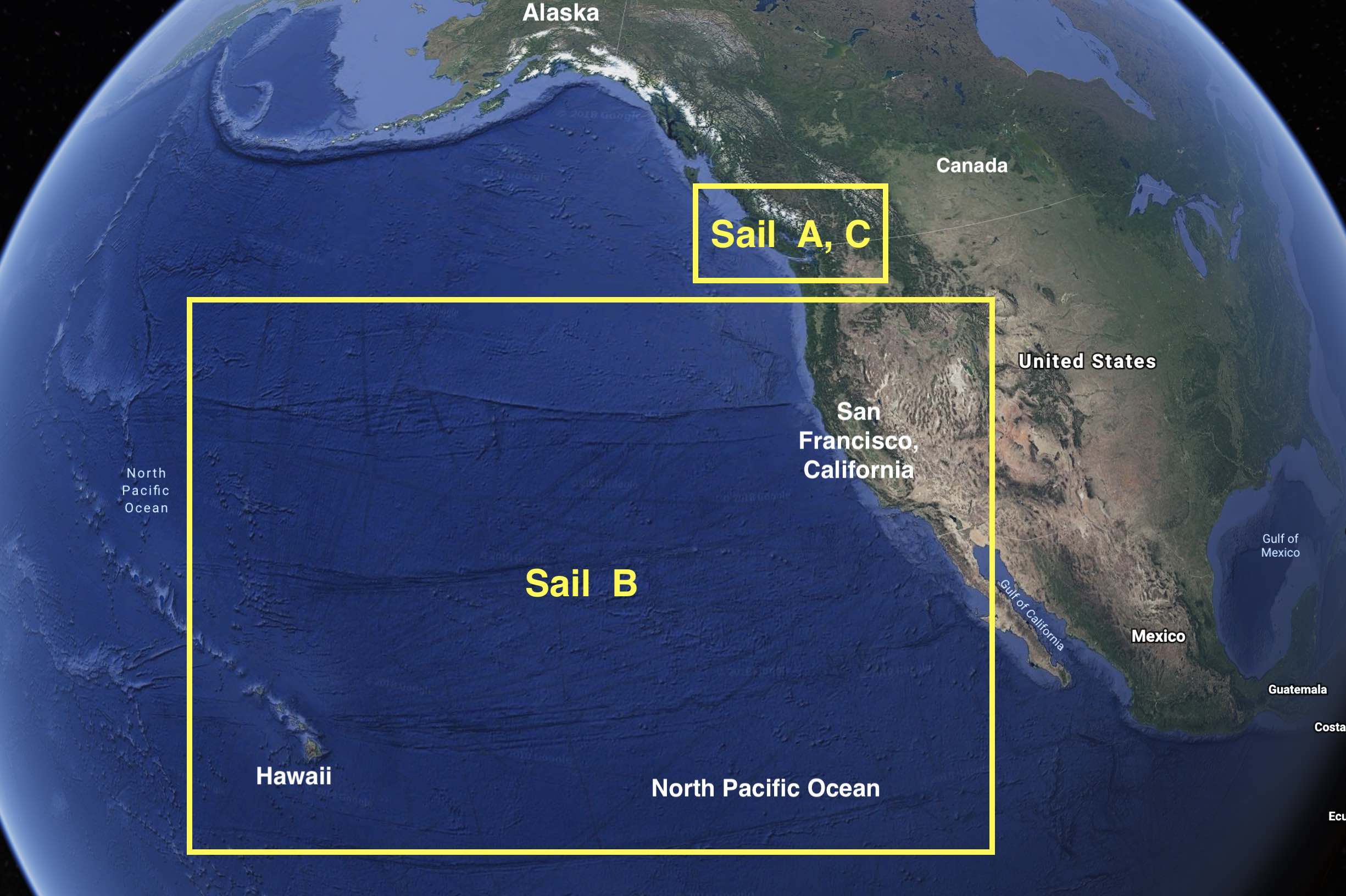
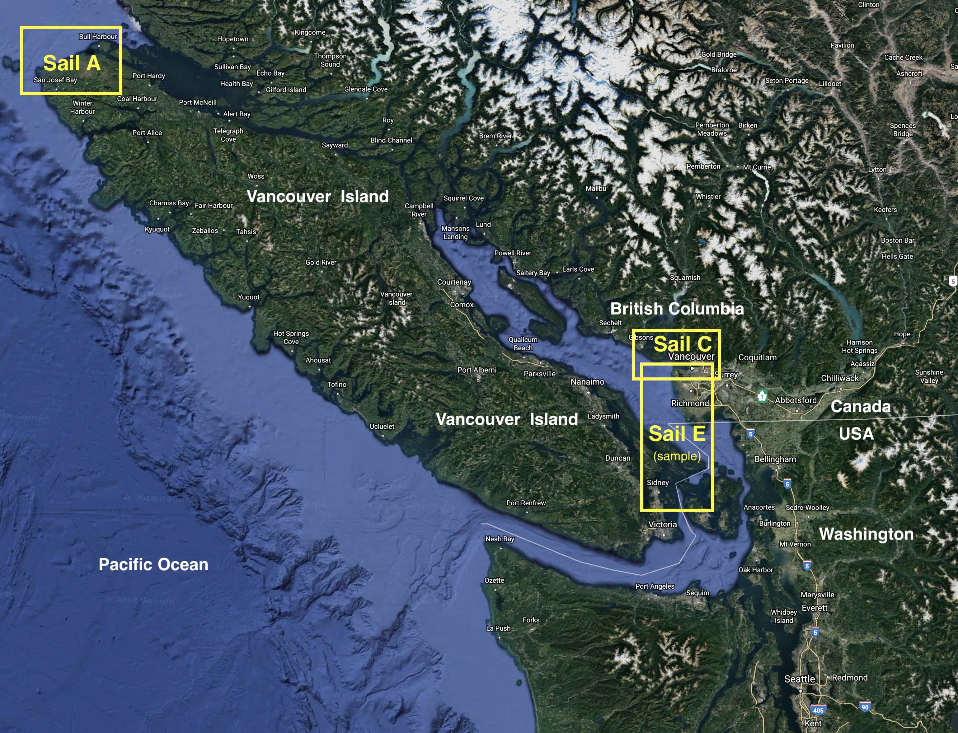
Image credits for the 2 maps above: Google Earth (2019), with annotations by Roland Stull.
To access interactive maps online, visit https://webapp.navionics.com/#boating@8&key=_d%7CtHvknlW .

Caption: Your route from Bull Harbour (full blue circle) to Sea Otter Cove (chequered flag) around the northern tip of Vancouver Island. Nahwitti Bar lies beneath point 2 on the map.

Caption: Map of your starting location, Bull Harbour, and your primary obstacle, Nahwitti Bar (bigger red circle).
Image credits for the 2 maps above: https://webapp.navionics.com/
Last update: Jan 2019