Maps for Sailing Module C (case w22)
Below are a few maps to show you the area you are sailing in. These maps are taken from the Navionics Webapp. If you would like to play around with the maps some more, click here.
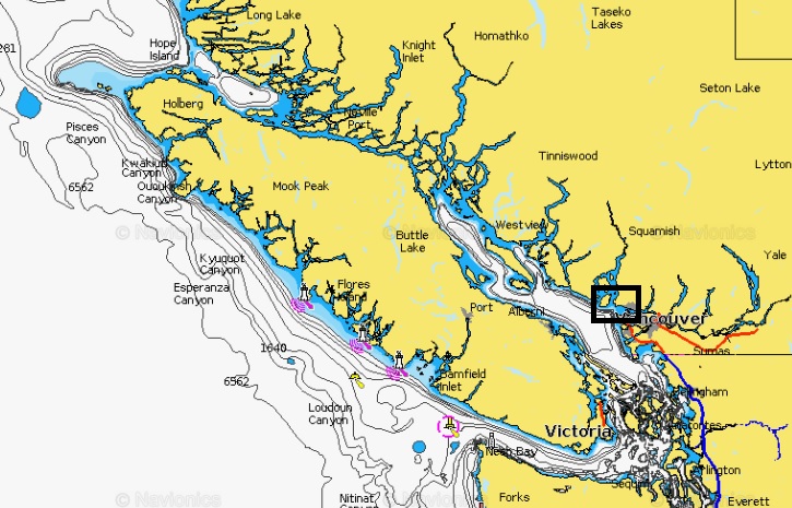
Caption: This module takes place in and around Vancouver in the southwest corner of British Columbia. This large map provides an overview of the location we are referring to in this module including Vancouver and Bowen Island in the black box.
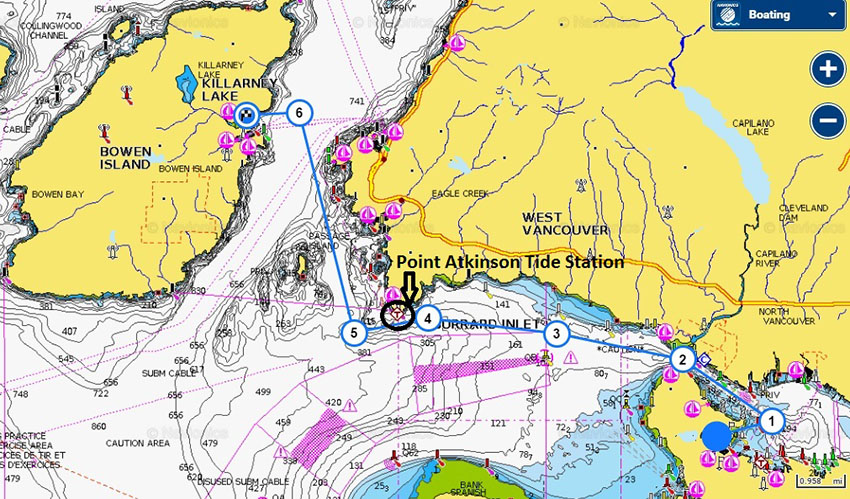
Caption: Map of your general route from Vancouver to Bowen Island (in blue). Your final destination, Snug Cove, is indicated with the chequered flag on Bowen Island. Note the location of the Point Atkinson tide station in black.
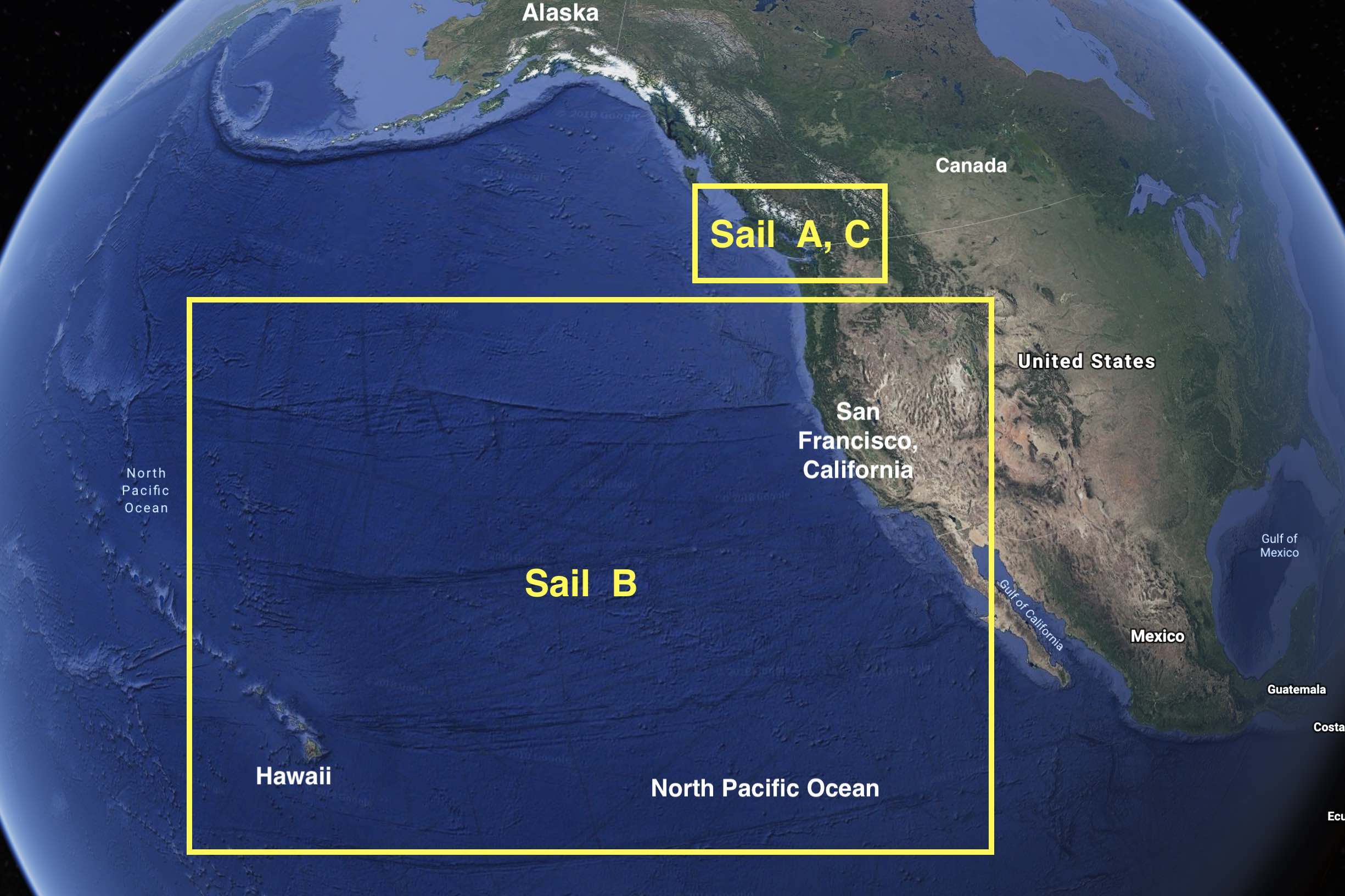
Image credits: Top: Google Earth 2019, annotated by Roland Stull. Bottom 2 maps: https://webapp.navionics.com/ , annotated by Samantha James.
Last update: Jan 2019