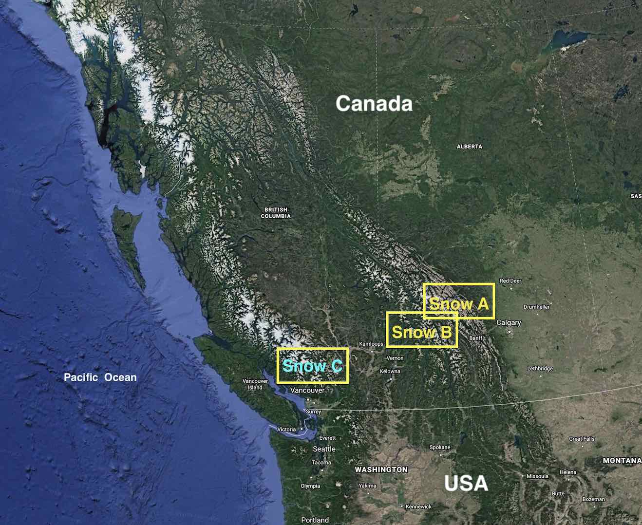
Snow Module A (case s00)
The Big Picture
Wapta Icefields Route
The Wapta Icefields Traverse is a ~5-day ski tour that traverses multiple large glaciers (icefields) in the Canadian Rockies.
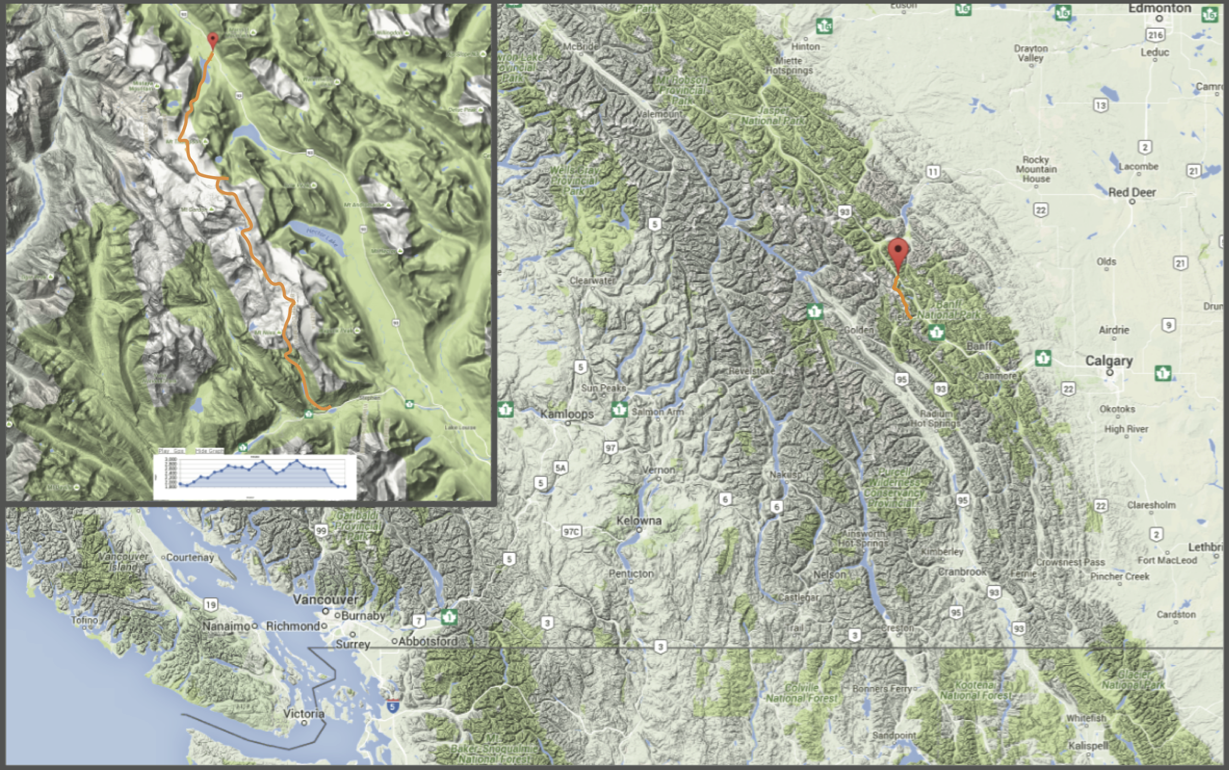
Map showing the overall location of the Wapta Icefields Route (red pin) in the Canadian Rockies, with the orange line indicating the route itself. Zoomed in map with elevation profile in the inset. (Credit: Google/Trailpeak/West)
There are multiple variations of the route. The main route is in minimal risk avalanche terrain but your group plans on doing side trips off the route that do venture into more serious avalanche terrain.
For a GPS track, elevation profile, and rough description see: http://www.trailpeak.com/trail-Wapta-Traverse-An-Overview-near-Banff-AB-5922
Trip description and photos: https://hikebiketravel.com/skiing-the-wapta-traverse-in-alberta/
Figure Credits:
Google Earth & Google Map: Map data
(c) 2019 & 2016 Google
Trailpeak: Map inset Copyright © 2001 - 2015
trailpeak.com
Annotations by: Stull: Roland Stull, West:
Greg West, Howard: Rosie Howard.
Last updated 27 Dec 2022.