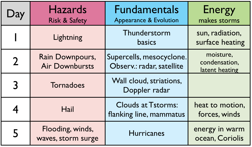
The "roadmap" table below outlines what we cover each day.
Learning Goals (LG) are listed at the end of this web page.
"Fractal", a video by Chad Cowan (stormlapse.com), is a wonderful "teaser" that you can watch before class starts. It shows beautiful time-lapse images of mammatus clouds (which we will learn about today), mesocyclones, gust fronts, lightning, and other thunderstorms hazards. https://www.youtube.com/watch?v=kOlBirvzV5g (3:22. Not testable.)
| Fundamentals |
Mammatus clouds are sometimes seen on the underside of thunderstorm anvil clouds . (1:40. Lecture Video snippet d4s01.)
To
see beautiful time-lapse images of mammatus clouds, view only the
one-minute segment between video timing marks 3:00 and 4:00 of the
YouTube video called "Storm of Beauty" by Pecos Hank. https://www.youtube.com/watch?v=0jkfnIBJRBQ .
| Energy |
Newton's 2nd Law of Motion tells us how forces can cause objects to accelerate. When applied to the atmoshere, it allows us to forecast the winds. (4:38. Lecture video snippet d4s03.)
But
to forecast the winds, we need to know the forces that act on air
parcels. We will look at buoyancy forces in the vertical, which
cause updrafts and downdrafts in storms. We will also look at
pressure-gradient force in the horizontal, which can cause storm winds
in horizontal directions.
Temperature affects air density, and density differences affect buoyancy. (2:34. Lecture video snippet d4s04.)
Pressure is force per unit area, and forces can cause motion. Thus, pressure gradients (pressure changes across horizontal distances) create forces that drive horizontal winds. (4:41. Lecture video snippet d4s05.)
As shown using hurricanes as an example, horizontal changes in
temperature cause horizontal pressure gradients that get stronger with
increasing altitude. In hurricanes, this causes winds to flow outward at the top of the storm.
Air molecules tend to distribute themselves approximately uniformly within any space -- a concept known as continuity. (5:09. Lecture video snippet d4s06.)
Here is a slide summarizing how heat in the atmosphere can create motion.
Atmospheric rivers caused extensive flooding in southern British Columbia during November 2021. As the next images show, horizontal temperature variations associated with Lows (L) and Fronts create horizontal pressure gradients that drive moisture-laden winds called Atmospheric Rivers. When the winds are forced to rise over mountain ranges, the rising air cools adiabatically, causing water vapour to condense to form precipitation. If the atmospheric river hits the same geographic location for many hours or days, then extreme precipitation can accumulate that causes flooding and landslides.
| Hazards |
Pecos Hank has a wonderful YouTube video about hail. https://www.youtube.com/watch?v=6JbU0dIq70E (7:00)
Hail risk and safety. (3:43. Lecture video snippet d4s08.)
Here is a slide summarizing rain and hail hazards.
Insights about how you can stay safe in storms. (0:40. Lecture video snippet d4s09)
The Learning Goals below are a good study aid for the topics we covered today. Please review them now to reinforce your understanding.
By the end of this lesson, you should be able to:
4a) identify mammatus clouds, cloud striations, haboobs, arc clouds, and wall clouds, and explain their significance
4b) explain how forces, acceleration, buoyancy, and pressure-gradients relate to winds
4c) describe how heat released in the atmosphere can create vertical and horizontal winds and atmospheric rivers
4d) explain how the continuity effect ties vertical and horizontal winds into circulations
4e) describe hail hazards, locations and times of greatest risk, and appropriate safety procedures