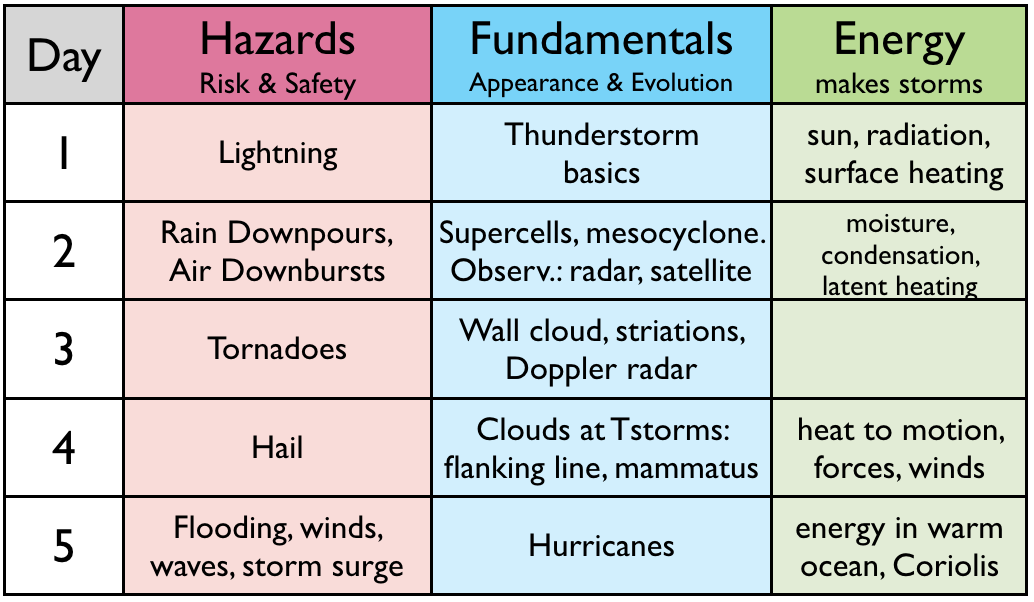
The "roadmap" table below outlines what we cover each day.
Learning Goals (LG) are listed at the end of this web page.
Supertyphoon
Mangkhut hits Hong Kong, Shenzhen & Macau on 15 September
2018. Footage compiled by Miscelánea Noticias (MN). https://www.youtube.com/watch?v=iHiKFK7BRPs (2:37. Not testable.)
| Fundamentals |
Hurricanes are made of thunderstorms, and have all the thunderstorm hazards plus ocean-related hazards. Hurricanes = typhoons = tropical cyclones. (1:17. Lecture video snippet d5s01.)
Observations of hurricanes by hurricane hunter aircraft, by weather satellite, and by weather radar. These show hurricane Katrina in Aug 2005. Can you identify the eye, eye wall, and spiral bands in these images? (2:13. Lecture video snippet d5s03.)
| Energy |
Compare the warm humid air "fuel tanks" for simple thunderstorm cells, supercell thunderstorms, and hurricanes. See how hurricane winds create gigantic waves with lots of sea spray, enabling hurricanes to utilize energy stored in the warm oceans. (5:48. Lecture video snippet d5s05.)
Hurricane season in the Atlantic peaks in September. (1:20. Lecture video snippet d5s06.)
The earth's rotation creates the Coriolis effect, which enables hurricanes over warm ocean locations except at the equator. (2:47. Lecture video snippet d5s07.)
Hurricanes die if they move over cold water, or over land. Can you explain why? (2:34. Lecture video snippet d5s08.)
Larger-scale weather patterns control where hurricanes move, but can also kill hurricanes. (4:03. Lecture video snippet d5s09.)
| Hazards |
Hurricane risks relative to other risks. (3:30. Lecture Video snippet d5s11.) Also, here is a link to the 2022 risk graphics from the World Economic Forum Global Risks Report.
YouTube video of a storm surge at the Philippines, cause by Super Typhoon Haiyan (also known as typhoon Yolanda), photographed by Nickson Gensis in 2013. https://www.youtube.com/watch?v=rS0gv4Xbw7w (1:08.)
Drowning is one of the main causes of hurricane-related deaths DURING the hurricane. (0:56. Lecture Video snippet d5s12.)
YouTube video: Health dangers AFTER hurricane flooding is another significant hazard, as nicely summarized by Fox News in 2017 after Hurricane Harvey. https://www.youtube.com/watch?v=nc3ICtxH3qU (2:03)
Computer predictions of hurricane track and intensity are imperfect, so hurricane warnings are presented as probabilities.
Although hurricanes are infrequent in Atlantic Canada, forecasts are
made by the Canadian Hurricane Centre, a branch of Environment and
Climate Change Canada (ECCC). (2:49. Lecture video snippet d5s13.).
| The End (of the Storms Module) |
The Learning Goals below are a good study aid for the topics we covered today. Please review them now to reinforce your understanding.
My farewell to all of you. (0:20) Lecture video snippet d5s14.)
Irish Blessing:
May the wind be always at your back,
May the sun shine warm upon your face, and
May the rains fall soft upon your fields.
Cheers, Prof. Roland Stull.
By the end of this lesson, you should be able to:
5a) describe the anatomy of a hurricane, and how it looks in weather radar and satellite images and videos.
5b) explain how sea-surface temperature, winds, waves, condensation, and a "warm core" affect hurricanes.
5c) describe the evolution and movement of hurricanes, and locate times and places of greatest risk.
5d) explain the main hazards of a hurricane and appropriate safety procedures.
5e) describe the nature and skill of hurricane forecasting, and explain why Canada has few hurricanes.