Hybrid Course Recommendations
Explore these flexible, asynchronous Hybrid Courses in Earth, Ocean, and Atmospheric Sciences—fully online all term for both on-campus and distance students. Learn at your own pace, with only the final exam held in person at UBC (no remote option).
Click on the course card to reach the course page or click on the red YouTube icon to learn more from a video.
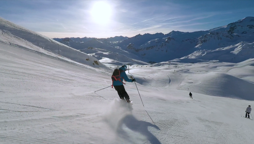
ATSC
113
0
Non-Specialist
Hybrid Course
Atmospheric-science principles elucidated by case studies applied to snow sports, sailing, surfing, soaring, and flying.
ATSC113 Video: HERE
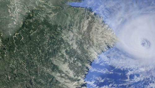
EOSC
114
Field
Non-Specialist
Hybrid Course
Introduction to causes and physical characteristics of disasters such as volcanic eruptions, earthquakes, tsunamis, hurricanes, storm surge, thunderstorms, tornadoes, landslides, wind waves, meteor impacts, mass extinctions.
EOSC114 Video: HERE
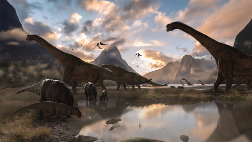
EOSC
116
0
Non-Specialist
Hybrid Course
Earth's tectonics, climate, and oceans during the time of the dinosaurs. Reading the fossil record of Earth from its earliest origins up to and including the Mesozoic, 250 - 65 million years ago.
EOSC 116 Video: HERE
EOSC
118
0
Non-Specialist
Hybrid Course
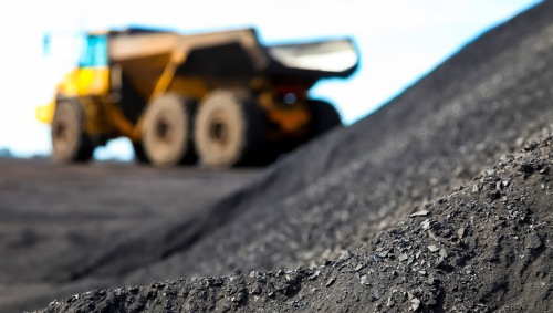
Origin, properties, valuation, prospecting and geology of gold, platinum, silver, diamonds, rubies, emeralds, and other precious metals and gems.
EOSC118 Video: HERE
EOSC
310
0
Non-Specialist
Hybrid Course
The Earth as a planet: its composition, internal dynamics, and surface evolution. Rotation, magnetic field, plate tectonics, earthquakes, volcanoes. The ocean, atmosphere, and biosphere as components of a varying geo-environment. No background in science or mathematics is required. Not for credit for students in specializations administered by the Department of Earth, Ocean, and Atmospheric Sciences. (https://www.eoas.ubc.ca/undergrad/degrees). Not for credit if you have already taken EOSC 110.
EOSC
311
0
Non-Specialist
Hybrid Course
An introduction to the Earth with emphasis on its industrial and aesthetic resources. Rocks, minerals, gold, diamonds, sediments, fossils, oil and gas, canyons, and volcanoes and the processes that create them. No background in Science or Mathematics is required. Not for credit for students in specializations administered by the Department of Earth, Ocean, and Atmospheric Sciences. (https://www.eoas.ubc.ca/undergrad/degrees).
EOSC
314
0
Non-Specialist
Hybrid Course
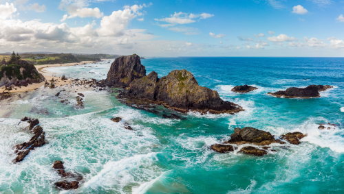
An introduction to the oceans and the processes that have shaped them, their composition and movement, waves, tides, beaches, interactions with the atmosphere and human exploitation of the non-living resources. No background in Science or Mathematics is required. Not for credit for students in specializations administered by the Department of Earth, Ocean, and Atmospheric Sciences. (https://www.eoas.ubc.ca/undergrad/degrees)
EOSC
315
0
Non-Specialist
Hybrid Course
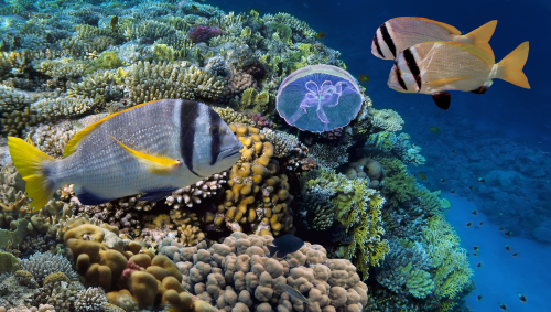
An introduction to life in the oceans, its variety and evolution; primary producers and their links to the environment, zooplankton, marine communities, living marine resources and their role in today's world. Not for credit for students in specializations administered by the Department of Earth, Ocean, and Atmospheric Sciences. (https://www.eoas.ubc.ca/undergrad/degrees).
EOSC
326
0
Non-Specialist
Hybrid Course
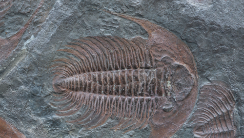
The fossil record of adaptation and extinction emphasizing the interaction of biological and geological processes. Not for credit in Geological Sciences and Geophysics specializations.
EOSC326 Video: HERE
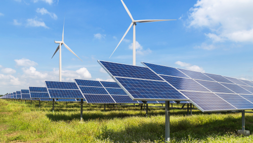
ATSC
313
0
0
Hybrid Course
The meteorology of hydro, wind, and solar power. Atmospheric processes affecting renewable energy on global, regional & local weather scales.