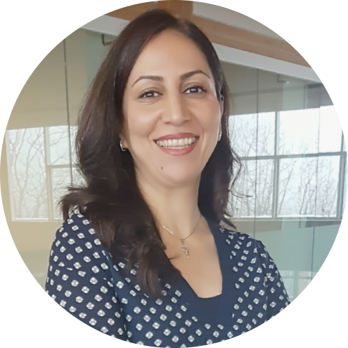
Mana Rahimi
Research Associate
Geomatics Geologist
I am a Geoinformatics specialist and economic geologist. My research interests are focused on use of mathematical solution and Geoinformatics methods and techniques in geosciences problems and above all mineral exploration. I obtained my PhD in Geoinformatics from Clausthal University of Technology, Germany. I have extensive experience in image and data processing, remote sensing, manipulating geophysics, data integration, GIS and prospectivity analysis using data and knowledge driven methods. I have joined MDRU in late 2014 and have collaborated in MDRU’s Western Tethyan Metallogeny (WTM) project, Targeting Resources through Exploration and Knowledge (TREK) and SeArch BC’s west- central region Geosciences BC’s funded research projects. Also, I have more than 17 years’ experience working for the Geological Survey of Iran (GSI) and other exploration companies. During this period I have led regional mineral exploration projects using large spatio-temporal datasets and innovative techniques. Furthermore I have supervised trainers, graduate students, and experts on the application of geoinformatics and data integration techniques for mineral exploration.
Research Areas
- Modern mineral exploration techniques
- Advance spatial analysis and modeling
- 3D GIS in Geosciences researches
- Development of Geospatial Information models and techniques
- Application of Geoinformatics in Geosciences problems
- Application of Remote Sensing in Geosciences researches
- Application of Airborne geophysics in geological mapping and mineral exploration.
- Big Geo-Exploration data-sets
- Multi Criteria Decision Making (MCDM) Methods and their applications in GIS modelling
Software Proficiency
- ARCGIS, ArcView, AutoCAD Map, MicroStation
- Geosoft (Airborne Geophysics Software)
- ENVI (Remote Sensing Software)
- ioGAS (Geochemical data analysis software)
- Familiar with SPSS and RockWorks
- MS Office, Illustrator and Photoshop